
Allen Park Neighbors by Block
Each record route answers a narrower block question. The Allen Park assessor is the starting point for parcel facts and the Wayne County Parcel Viewer adds map context. A deed index can document parties to a recorded instrument, while a historic directory can associate a household with one printed edition. Michigan's voter resources have deliberate field and privacy limits, and community listings are voluntary or organizational sources rather than block rosters.
| Source | What it shows about a block | Access route |
|---|---|---|
| Wayne County Parcel Viewer | Parcel placement with municipal, road, park, school, and ZIP-layer context | Free interactive map; exact parcel-card fields were not captured |
| Allen Park BS&A assessor | Address, name, or parcel search; parcel tabs for general, buildings, sales, and images/sketches | Free portal with city-office backup |
| Wayne Register of Deeds | Recorded-instrument parties and references connected to a parcel or legal description | Free name index; paid, office, and mail routes for more access |
| Michigan voter systems | Individual election information or a formally scoped public-file request | MVIC and QVF Freedom of Information Act form, subject to exclusions |
| Directories and civic sources | Dated household or organization context | Libraries, genealogy repositories, civic contacts, and voluntary listings |
An owner field, a map label, and a past directory entry are not interchangeable. The useful question is what each dated record can confirm, rather than whether it can identify everyone around an address.
Map Allen Park Neighbor Parcels
The Wayne County Parcel Viewer service is the map route for placing an Allen Park address among surrounding parcels. County materials document zoom, pan, select, and layer or map controls. They identify parcel, municipal-boundary, road, park, school-district, and ZIP-code layers. The inspected material did not expose a live Allen Park parcel card or a dedicated adjacent-parcel control, so use the visible map and selected-parcel result without promising unverified tools.
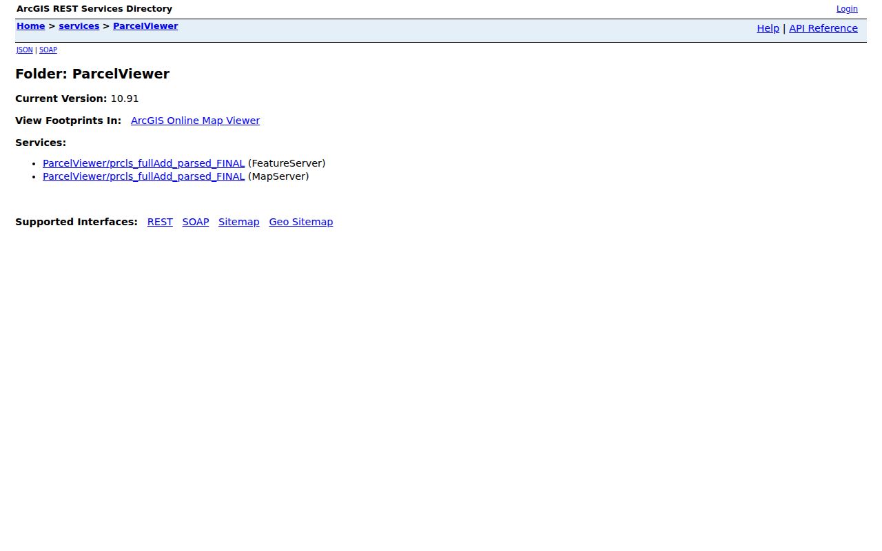
The map is a geography check. It can show which parcels are around the point selected, but it does not establish who is present there now. Use the parcel identifier as a bridge to the local assessor and, when a recorded instrument matters, to the Register of Deeds.
- Enter or locate the address in the Allen Park assessor route and preserve the full parcel number.
- Select the matching parcel in the Wayne map, then inspect the nearby parcel boundaries and relevant layers.
- Open each parcel separately in the assessor route when a parcel fact needs confirmation.
- Use an owner or legal-description lead in the deed index only when a recorded transfer is the question.
- For a full named-street history, move to the Allen Park street directory instead of extending a block check into a citywide claim.
Allen Park Neighbors and Parcel Fields
Allen Park Assessing maintains land and building records in the city. Its documented BS&A search modes are Address, Name, and Parcel Number. Address searching uses a street-number range: repeat a single number in both range fields, use the street name without a common suffix such as ST or AVE, and usually omit direction. An owner search uses last name, comma, first name when known. Those search steps find a property record; they do not settle identity.
| Address | Use the street name and number range; repeat one number in both fields for a single address. |
|---|---|
| Parcel number | Allen Park numbers begin with 30 according to the official instruction PDF. |
| General tab | Parcel and general information, with exact live labels not fully captured. |
| Sales tab | Sale-history lead that should be checked against a recorded instrument. |
| Images/Sketches tab | Images or sketches when the portal supplies them. |
Assessing says the city portal has no accuracy guarantee. For a consequential parcel fact, retain the displayed date and verify it with the assessor, recorder, or a certified record. The assessor office is at 15915 Southfield Road, and the research lists 313-928-2125 for the assessor.
The city dates its annual valuation to Tax Day, December 31 of the preceding year, and says inquiries are answered within seven days. That timing is another reason to save the retrieval date. A sale tab may lag a recorded instrument, while an assessed-value field answers a tax question rather than a question about who is physically present.
Allen Park Neighbors and Voter Records
Michigan's public voter-file rules do not create an open neighborhood roll. The Michigan Voter Information Center is the individual lookup route, although its live form was blocked during the inspected run and its exact controls should not be guessed. The state identifies public fields such as name, residential or mailing address when available, year of birth, registration date, status, voter ID, and available voting history. Sensitive identifiers and signatures are excluded.
A QVF Freedom of Information Act request is a formal route with geographic scope, history choices, output fields, and delivery options. Allen Park city, Wayne County, a ward, and a precinct are distinct scopes. A ZIP code does not establish a precinct, and a mailing address may differ from a residential address. Use the local clerk or MVIC for current election-administration questions, and respect records that are redacted or protected.
The form describes pickup, FTP, or mail delivery and says voter-file data is supplied on an encrypted flash drive rather than by ordinary email. It also has an unresolved format inconsistency between CSV and fixed-length ASCII language. Save the form version and ask the Bureau of Elections which format controls before relying on an output layout. A formal request is not a substitute for checking an individual record with its source date.
Note: A voter record is an election-administration record, not proof of permanent presence at an Allen Park address.
Allen Park Neighbor Organization Leads
No official citywide neighborhood-association directory was located. That gap matters. Do not convert social-media labels or informal area names into an authoritative neighborhood list. The strongest local organization leads are the Allen Park Citizens Civic Fund, city-linked groups mentioned in a 2025 council packet, the chamber directory, the library and museum, and the PTA/PTSA Council. They can provide public contact or history, but none establishes a member's residence.
Allen Park Citizens Civic Fund
An independent nonprofit created by residents and incorporated on November 23, 2015. It holds public meetings; no public member directory was located.
Allen Park Chamber
A voluntary business and organization directory. Listings can identify a local contact, but a listing does not prove membership or residence.
Allen Park PTA/PTSA Council
Identifies school-connected groups and a council contact, without exposing a public member directory.
The Allen Park Chamber business directory is a useful community contact lead when it carries a dated category and organization name.
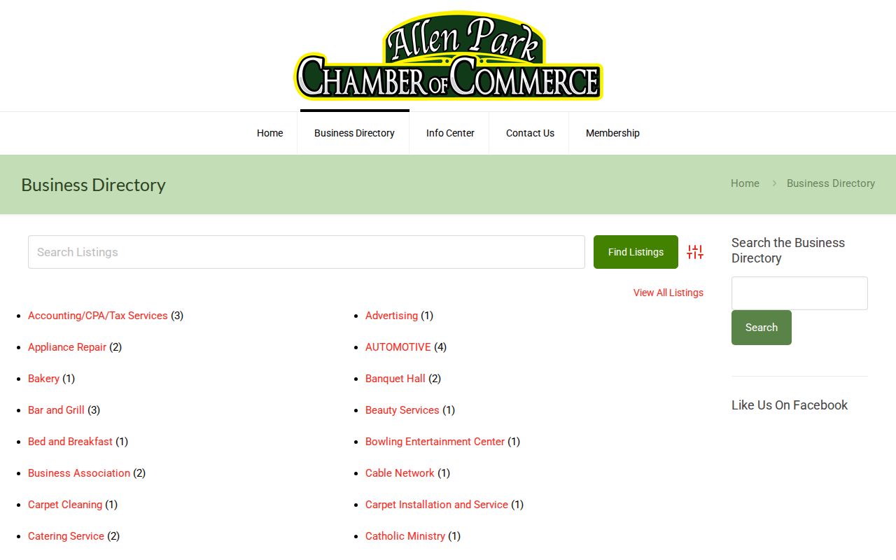
Use a group listing to contact the group or understand civic context, not to assemble a block-level people list. Check public meeting information and current contact details directly with the listed organization. City-linked groups mentioned in the 2025 council packet include the Athletic Club Baseball, Bulldogs Football, Hockey Club or Association, Adopt A Garden, Downtown Development Authority, and Friends of the Library. The packet is a lead, not a complete current roster.
Allen Park Neighbors Are Not Counts
Population totals help describe the city but cannot identify a block. Census QuickFacts reports 28,638 people in Allen Park in 2020 and a July 2025 estimate of 27,445. The county profile reports 28,210 in 2010. These are aggregate snapshots with different dates, not current rosters and not an answer to who is around one address.
Allen Park is also only about 7 square miles according to the QuickFacts snapshot, while street, parcel, school, ZIP, and municipal-boundary layers remain different maps. Compare the named layer to the question. A postal label, for example, should not be used as a shortcut to a city or precinct conclusion. The standard ZIP identified for the city is 48101, but its post-office suffix 48101-9998 is a facility ZIP+4, not a second standard Allen Park ZIP.
Allen Park Block History Labels
A historic block may be indexed under Ecorse Township or another Downriver label. The local history material places the area in Ecorse Township before later territorial and township changes, identifies Allen Park village incorporation in 1927, and identifies city incorporation in 1957. These changing labels explain why a historic newspaper, census, or directory can seem to disagree with a modern map.
The Uniroyal tire is a practical Allen Park search term for a dated local-history inquiry: county history places its World’s Fair origin in 1964 and its move to Allen Park in 1966. For a block question, use that story as a way to locate newspapers, photographs, or museum material, not as a substitute for a parcel or household record.
Privacy Limits for Allen Park Neighbors
Official records have clear boundaries. Do not republish full birth dates, signatures, ID numbers, victim information, sealed material, or a protected participant's actual address. The Michigan Address Confidentiality Program provides a designated address and mail forwarding for eligible participants. A designated or missing address is not an invitation to reconstruct the protected location from other records.
| Official record route | Commercial neighbor tools |
|---|---|
| Shows a defined record type, custodian, date, access route, and stated limits. | May combine stale or unexplained data and can blur whether a result is an owner, a past occupant, or a different person. |
| Lets a reader check the parcel, deed, voter, or civic source directly. | Does not replace checking the source, date, redaction, and identity uncertainty. |
When an official source appears wrong, use its correction path: Allen Park Assessing for a parcel question, the Register of Deeds for an instrument, the court for a court index, and the clerk or Michigan Department of State for an election record. Preserve the source date instead of silently replacing a historic note with an unsupported current claim.
Lawful use. Use Allen Park neighbor research for personal safety awareness, civic context, or family history; never use a public record to watch, harass, intimidate, or harm another person.